Startup Uses Satellites to See Through Clouds and Map India's Rice Farms
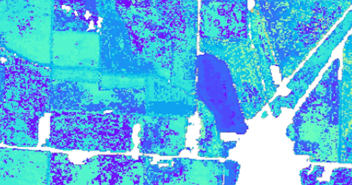
Mitti Labs uses satellite radar — which sees through clouds that block normal cameras — to map 10 million hectares of Indian rice fields, roughly one-quarter of the country's rice-growing area. This lets the $12.5 million-backed startup track water use and methane emissions during monsoon season. Mitti now works with over 100,000 farmers.
Published