Mitti Labs Maps One-Quarter of India's Rice Fields Using Cloud-Penetrating Satellite Radar
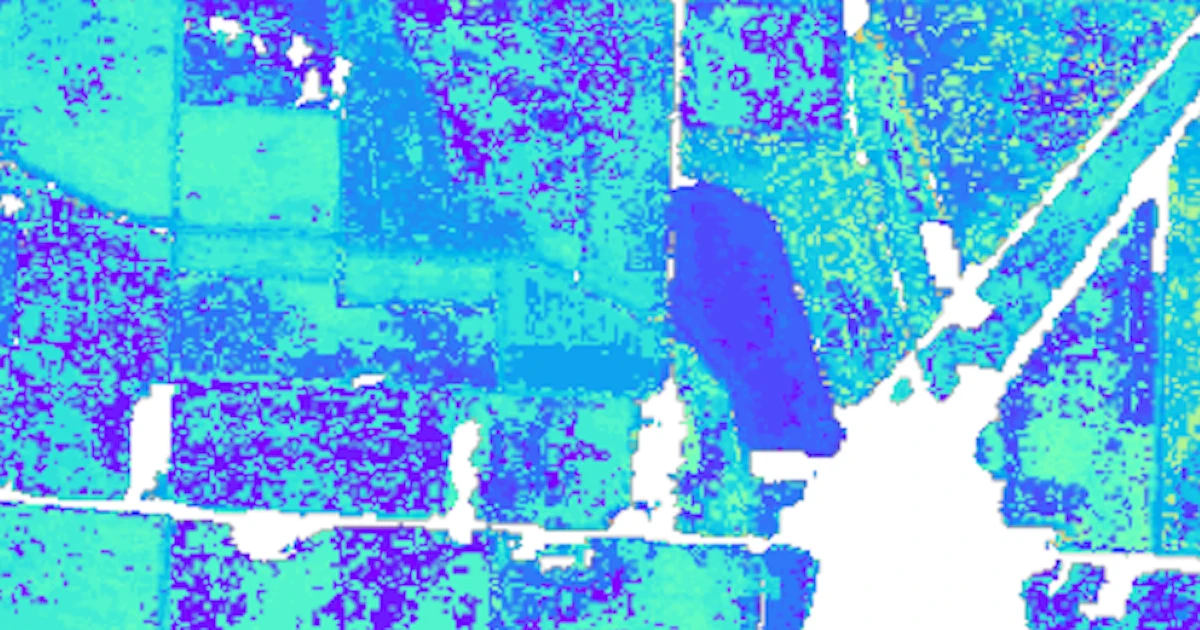
Mitti Labs' GeoAI platform uses synthetic aperture radar from commercial and public satellites to map 10 million hectares of Indian rice fields — roughly one-quarter of the national rice-growing area. SAR penetrates cloud cover, enabling farm-level monitoring of water use and methane emissions during monsoon growing cycles. The startup, backed by $12.5 million in funding, now works with over 100,000 farmers.
Published